Welcome to Paragon Aerial Surveys

visit our location:
Delaware, Ohio 43015
Send us mail
admin@paragonaerialsurveys.com
about
Paragon Aerial Surveys

About Us

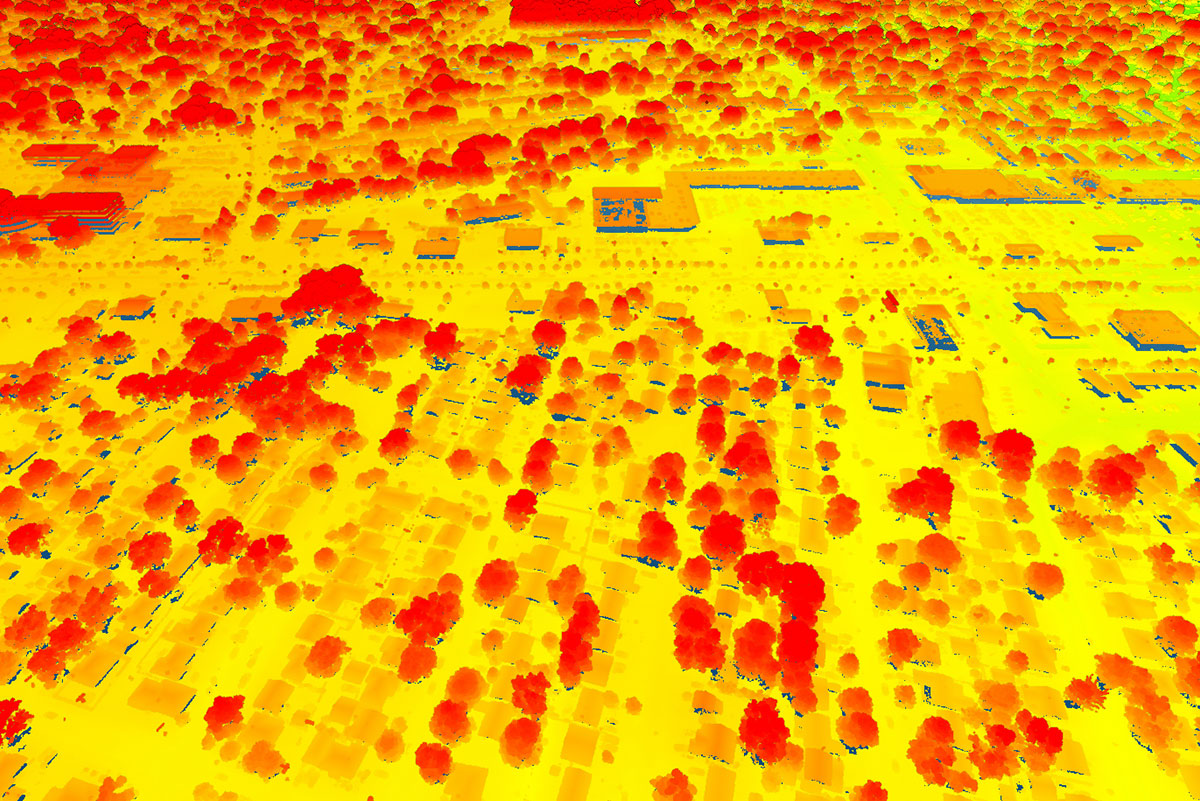
Paragon Aerial Surveys is a minority owned aerial acquisition company that is dedicated to providing exceptional geospatial data solutions. With our cutting-edge technology and expertise in aerial surveying, we specialize in collecting LiDAR data, high-resolution imagery, and centimeter-level accuracy airborne GPS data. Our mission is to deliver top quality georeferenced imagery and LiDAR point clouds both unclassified and classified, including RGB colorized to support a wide range of industries and projects.

At Paragon Aerial Surveys, we understand the unique needs of our clients. Whether you require orthorectified mosaics, mapping for development projects, utility monitoring, or volume measurements, we have the capabilities to deliver precise and reliable data.

Our Mission:

We're on a mission to become the most sought-after acquisition company in the United States. We achieve this by consistently delivering the highest quality LiDAR data and digital imagery to our clients. Efficiency is our compass, guiding us to provide these services with unmatched speed and cost-effectiveness. Moreover, we understand that our clients' concerns and needs evolve, and we ceaselessly adapt to address them.

Our Philosophy & Values:

Safety First: We take pride in putting safety at the forefront of everything we do. The well-being of our team, clients, and communities is non-negotiable.

Business with Integrity: Our foundation is built on trust and integrity. We conduct our business with transparency and honesty, ensuring that our partnerships are as solid as our data.

Growth for All: Just as we map the terrain, we map out opportunities for our employees to grow. As our company prospers, so do the individuals who fuel our success.

Strength in Diversity: We believe that diversity is an asset, not only strengthening our business but also enriching the communities we serve. We embrace different perspectives and backgrounds as catalysts for innovation.

about
Paragon Aerial Surveys

WhyChoose Us

Strategically positioned in the Midwest, along with a satellite location in the southeastern region of the United States, we are able to give competitive quotes throughout most of the country.

We utilize a cutting-edge Galaxy Prime Lidar system paired with a 150-megapixel Phase One camera system with a 90mm focal length. This setup allows us to capture higher-resolution imagery at greater flying altitudes, reducing the number of required images and flight lines which ultimately translates to lower costs for our clients.

Leadership
Expert Team Members

Our Team

Services
CEO

Darnell Banks

Darnell has over 25 years of industry experience. He has a comprehensive understanding of every aspect of aerial surveying from planning to acquisition and processing. He understands that the primary currency of good business is developing and maintaining trustful relationships. With his extensive industry connections, he has been able to keep a finger on the pulse of the geospatial industry.

Services
COO

Josh Hammons

Josh has a degree in aviation and over 18 years’ experience in the industry. He has a passion for studying weather and how it applies to the acquisition of aerial surveys. He has spent the last decade successfully managing the acquisition of thousands of aerial survey missions.

Services
CFO

Daniel Trent

Dan began his career as an aerial survey pilot. He has a successful track record as a business owner. As an experienced and proven entrepreneur, he brings an unmeasurable amount of business financial knowledge.

Services
CMO

Sarah Davis

Sarah has a bachelor’s degree in journalism and mass communication, specializing in advertising and marketing. She is extremely knowledgeable in developing marketing strategies that are instrumental to the growth of our company.